
Analysis
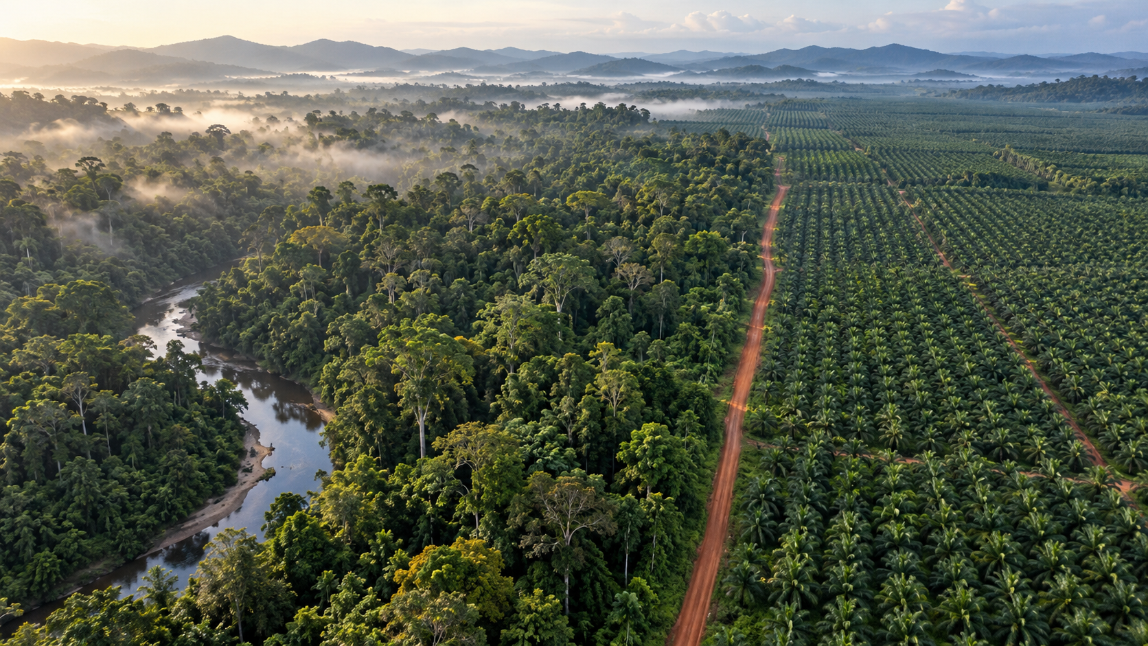
Google DeepMind and Google Research, with the World Resources Institute and the International Institute for Applied Systems Analysis, released Forest Typology (ForTy) 2020, a global map that sorts every 10-by-10-meter patch of land into six types based on FAO definitions: primary forest, naturally regenerating forest, planted forest, plantation forest, tree crops and agroforestry, and other land. An early-release time series tracks changes each year from 2017 to 2025, including where natural forest was replaced by plantations or farms.
The developers say the model was trained on about 1.7 million labeled locations and uses AlphaEarth Foundations embeddings as a key input. Validated against more than 9,000 randomly chosen sites, it picked the right forest type 90% of the time and told forest from non-forest land 95% of the time. The map and the time series are freely available on Google Earth Engine under an open license, and the team says it will keep improving the time series.
Analysis: the practical value is the probability score attached to each class. A company assessing deforestation risk under the EU deforestation regulation might set a strict threshold and accept only pixels the model is highly certain about, while a researcher estimating forest extent might use the full range of probabilities. That choice belongs in a written screening policy. A 90% overall figure also means some patches will be misclassified, so field evidence and supplier records still matter where a decision carries legal or commercial weight.
Source: Beyond tree cover: mapping the world's forest types · 2026-10-22
Why it matters
Set a documented confidence threshold before using a forest-type map in supply-chain screening, and keep field evidence for contested cases.